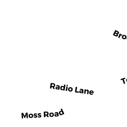
15 POWERS LN
Owner Information
BRUNO BEVERLY A TRS
15 POWERS LN
WEST YARMOUTH, MA 02673


Property Details
15 POWERS LN is classified as a OCEAN FRONT (Modern/contemp).
The primary structure on this property was built in 2017. There are 3,504ft2 of built area within this property. There is 2,112ft2 of residential/living space within this property. This property is listed as having 6 rooms.
15 POWERS LN is valued at $1,757,800. The land is valued at $1,438,700 and the structures are valued at $316,600. There is an additional valuation of $2,500 on this property.
The most recent deed for 15 POWERS LN is recorded at the local registrar in Book C218486, Page 0. 15 POWERS LN was last sold on Monday, January 28, 2019 for $1.
Assessment data from fiscal year 2022.
Flood Data
This property is partially within the VE Zone (coastal flooding with wave action). Approximately 0.21 acres (100.0%) of the property is within this zone.
The base flood elevation for this flood zone is 14 feet.
This information is sourced from the FEMA National Flood Hazard Layer. See our full disclamer.
Broadband Internet Providers
| Provider | Type | Bandwidth (mbps) | |
|---|---|---|---|
| Verizon New England Inc. | DSL | 5 | 0 |
| Viasat Inc | Satellite | 35 | 3 |
| HughesNet | Satellite | 25 | 3 |
| VSAT Systems, LLC. | Satellite | 2 | 1 |
| GCI Communication Corp. | Satellite | 0 | 0 |
| T-Mobile | Fixed Wireless | 25 | 3 |
| Comcast | Cable | 1000 | 35 |
Broadband service provider data from December 2020.